


Home
Information Box Group

Undergraduate Programs Discover More
Embark on one of the many exciting paths that EES has to offer with this comprehensive list of all our undergraduate programs
Graduate Programs Discover More
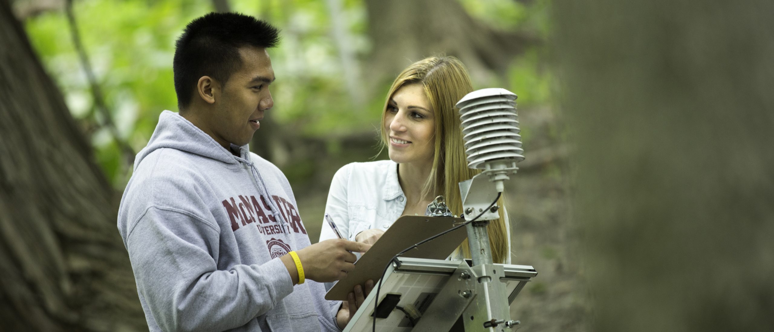
The School has world class facilities and a multidisciplinary research environment offering field, laboratory and modeling opportunities. Applications are open now for September 2024.
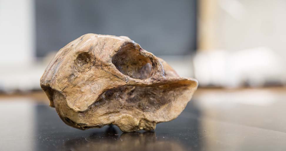
Research Explore Research
Explore the many research areas that our School has to offer from geochemistry to social geography and much more…
Career Resources Plan Today
Check out EES resources to help you find internships, jobs and APGO + GIS certification requirements

Message to Prospective Students
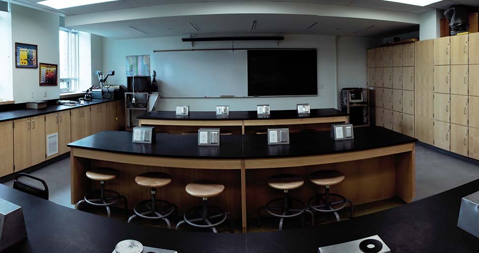
The School of Earth, Environment & Society is committed to providing an innovative, stimulating and rewarding learning experience for all undergraduate students. With our ongoing curriculum development process, we create exciting undergraduate programs that lead to either Bachelor of Science (B.Sc.) or Bachelor of Arts (B.A.) degrees.
We provide students with an educational experience to prepare you for future careers by integrating practical experiences and personal skills development into our courses. A number of award winning professors teach in our programs.


