Home
First Year Programs
The Faculty of Science offers seven Level I (first year) Programs: four Gateway Programs and three Direct Entry Programs.

Gateway Programs Learn More
The structure of our four Level I Gateway programs will provide you with a range of Level II program options.
Direct Entry Programs Learn More
Students enter directly into these programs and the first-year curriculum is a set of prescribed, required courses that must be completed before advancing to Level II of the program.
Second Year Programs
At the end of Level I Gateway program students have a wide range of options to consider.

Program List Learn More
Browse all 36 Level II program options

Program Types Learn More
Learn about the differences between Level II programs including duration, enrollment process and co-op opportunities.

Course Calculator Learn More
Since there are many possibilities to consider, make use of the Course Calculator tool to plan your Level I course selection
Connect
Departments and Schools Learn More
Familiarize yourself with the 9 Departments and Schools in the Faculty of Science.
Virtual Tours Learn More
Experience McMaster Science in an immersive digital environment.
In-Person Tours Learn More
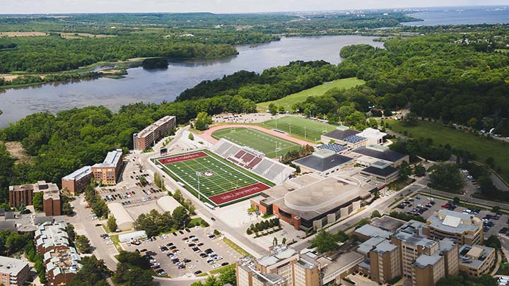
To help you make an informed decision, we invite you to take an in-person Science Tour to see what the Faculty of Science at McMaster University has to offer.
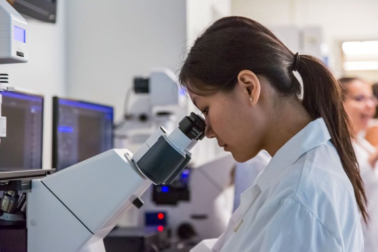
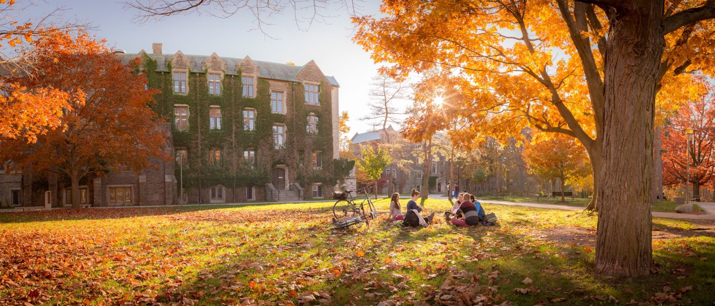
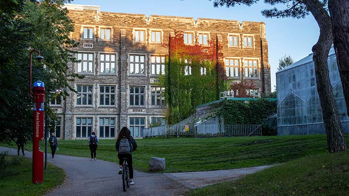
Come discover Science at McMaster
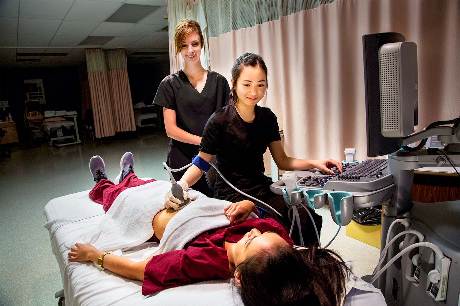
Experience an education that represents far more than a collection of facts, concepts and answers. Our award-winning professors and researchers value innovative teaching, a lifelong passion for learning, and working at the frontiers of knowledge.
McMaster’s Faculty of Science will prepare you to become a leader in a wide variety of science-related careers. We are committed to developing your ability to evaluate information, think critically and apply your understanding of science to a wide range of real-world problems and issues.
I invite you to explore Science at McMaster.
Dr. Maureen MacDonald
Dean, Faculty of Science